Mariager Route - Hiking Route (12,2 km)
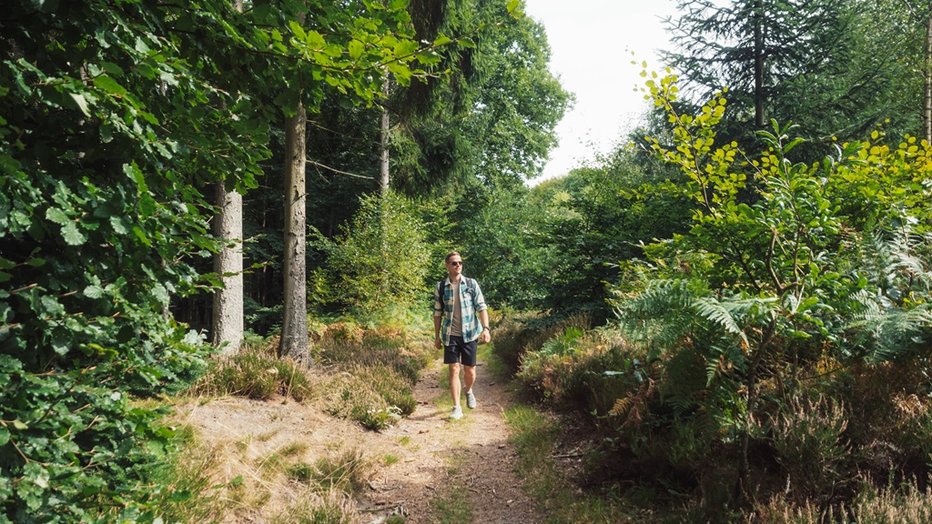
Go on a hiking trip in Mariager. Here are two lovely hiking trails that will take you through nature-rich areas combined with historical sights.
You can choose to take this route called "Mariager Route," which, as the name suggests, takes you around the city and into its old beautiful streets. The route is approximately 12,2 km long.
Alternatively, you can take the shorter route, which is about 5 km long. You can find more information about the short route here.
Mariager Hiking Trail - 12,2 km
Where you start is entirely up to you. The hiking trail forms a loop, so you will end up where you began the journey.
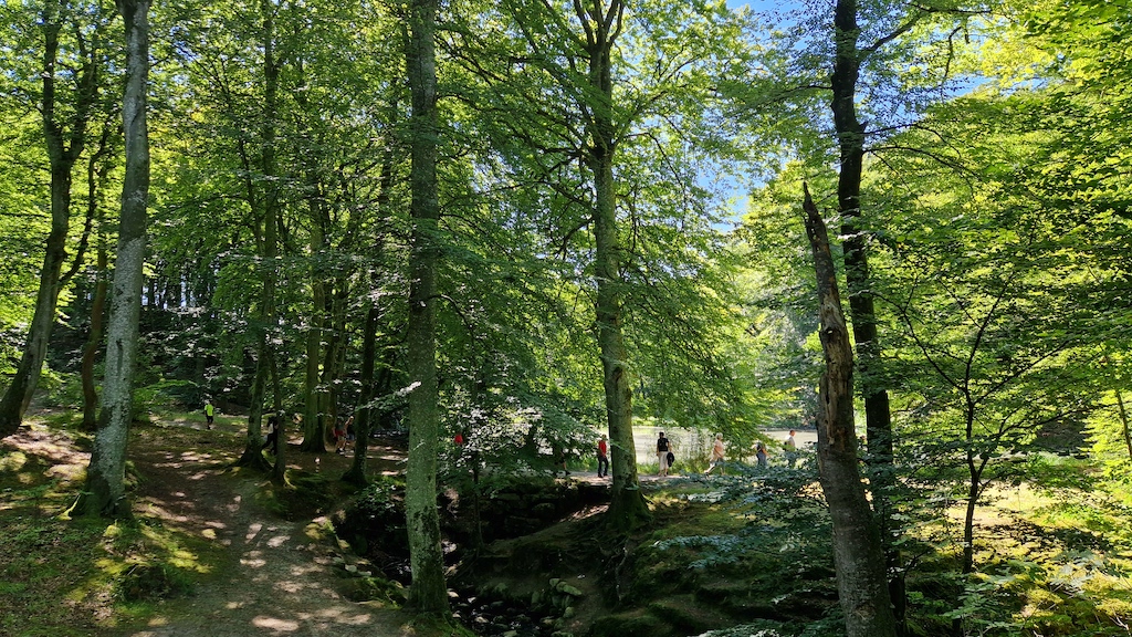
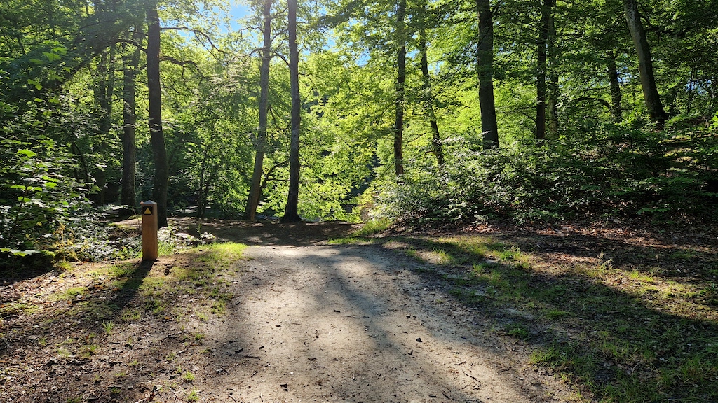
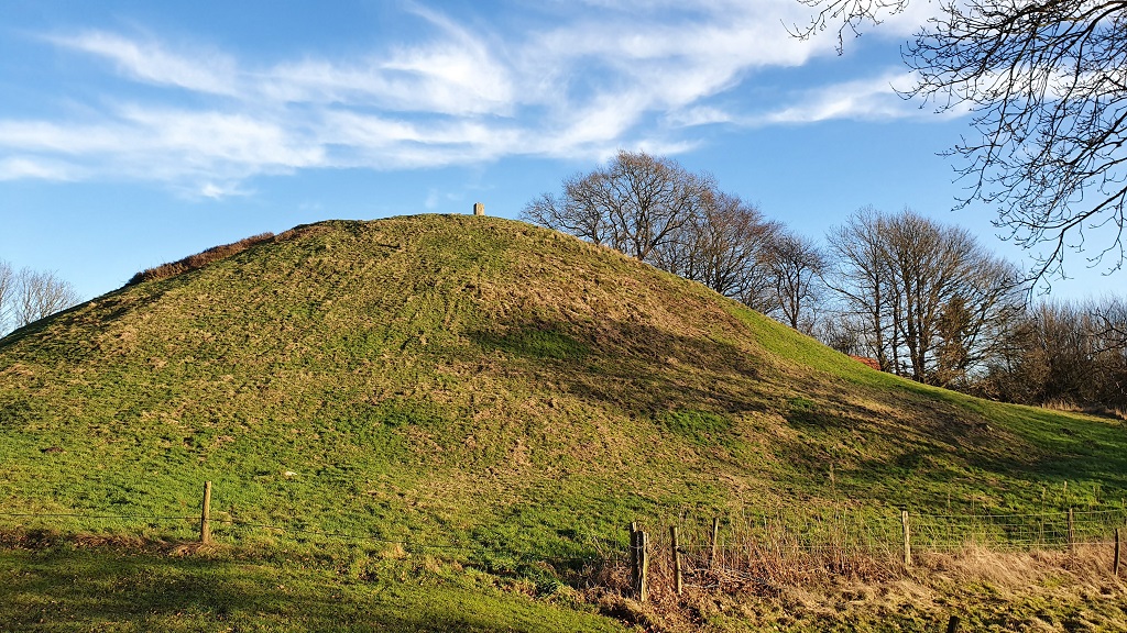
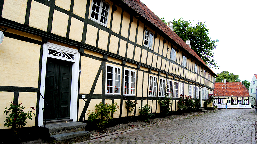
The route takes you past prehistoric sites, allowing you to explore Mariager's idyllic town center with its cobblestone streets and half-timbered houses. You will also venture into nature through places like Vesterskov, Munkholm Anlægget, Alstrup Krat, and up to Hohøj - the largest Bronze Age mound in Scandinavia.
It's a hiking route that emphasizes history, culture, and nature
If you start at Mariager Harbor, you can continue along the coast towards Færgehagen, which is a great spot for taking a dip during the warm summer months. From there, the journey continues through Vesterskov, where a short detour up to Sukkertoppen (crossing the vintage railway tracks—be mindful of passing trains) offers a fantastic view over Mariager Fjord.
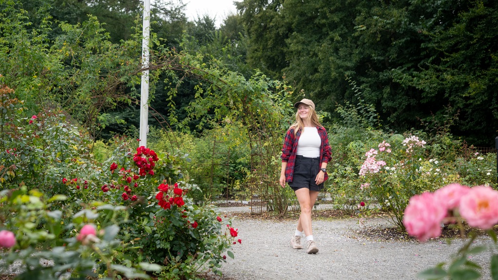
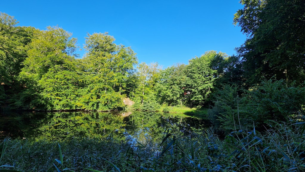
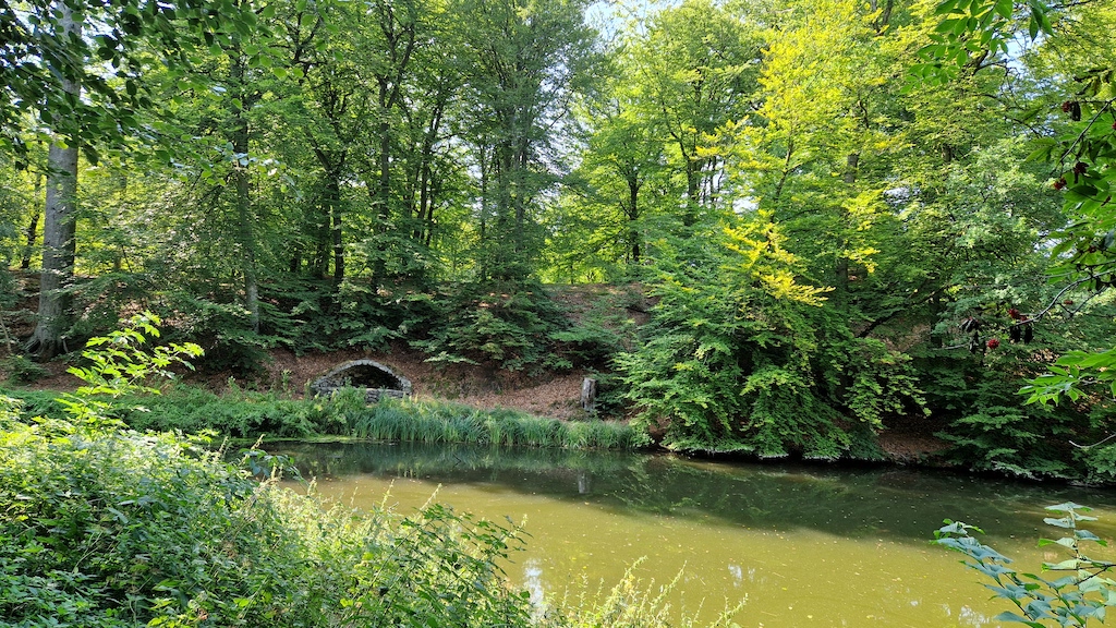
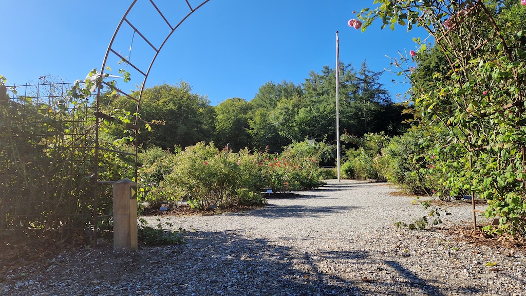
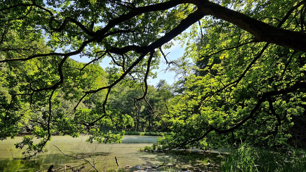
Through Vesterskov, the trail leads up Asserdal towards Himmelkol, and then you reach Rosenhaven (the Rose Garden), home to approximately 400 different rose varieties spread across 800 roses. Take in the sight and, most importantly, the fragrance of the beautiful roses before continuing into Munkholm Anlægget. In Munkholm Anlægget, you can enjoy the scenery, lakes, fountains, a charming pavilion, and the Eremithytten. The area holds a lot of history from times past, which you can read more about here.
One of the hidden gems in Munkholm Anlægget is a beloved troll, although he isn't easy to find. Can you locate him? Look for the troll named Ivan Evigvår, created by the artist Thomas Dambo.
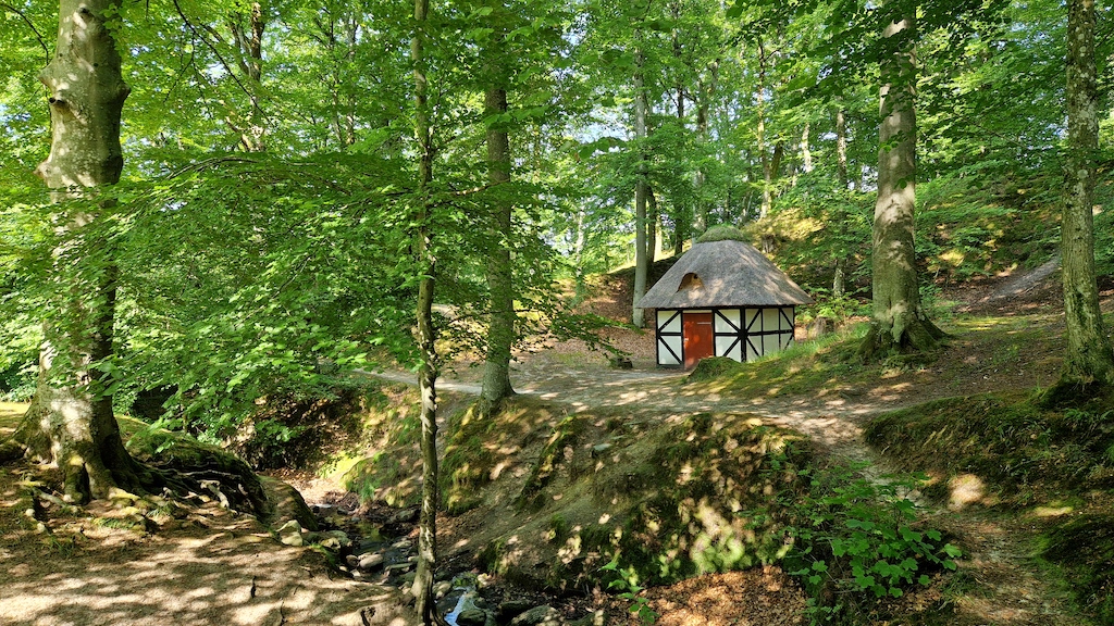
Pssst... He lives close to a small white half-timbered house with a red door and a thatched roof. See if you can find him using the troll map here!
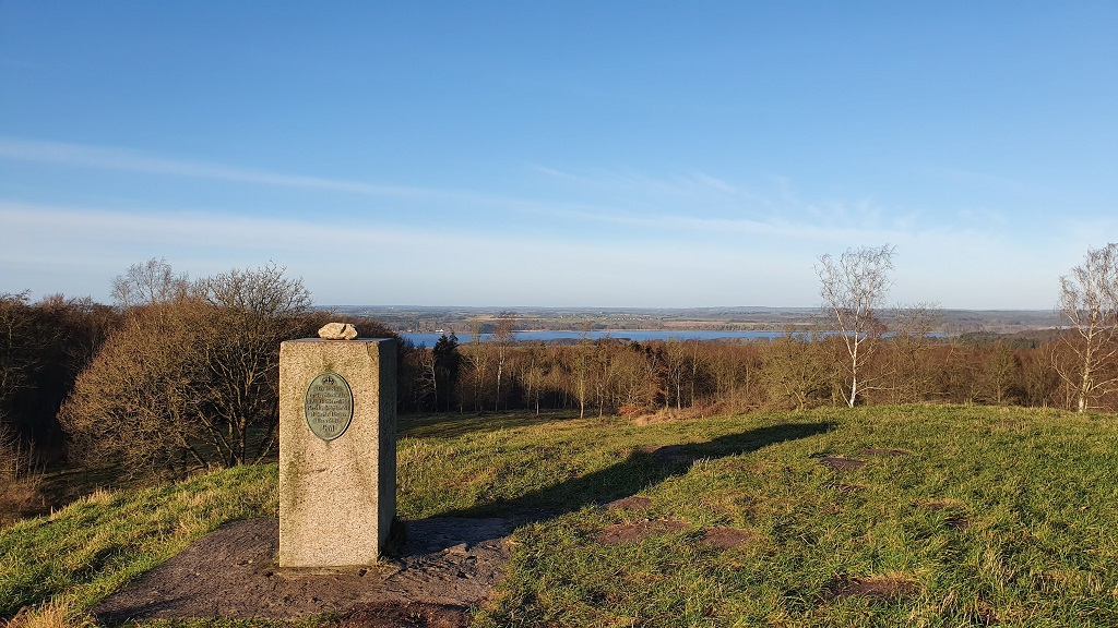
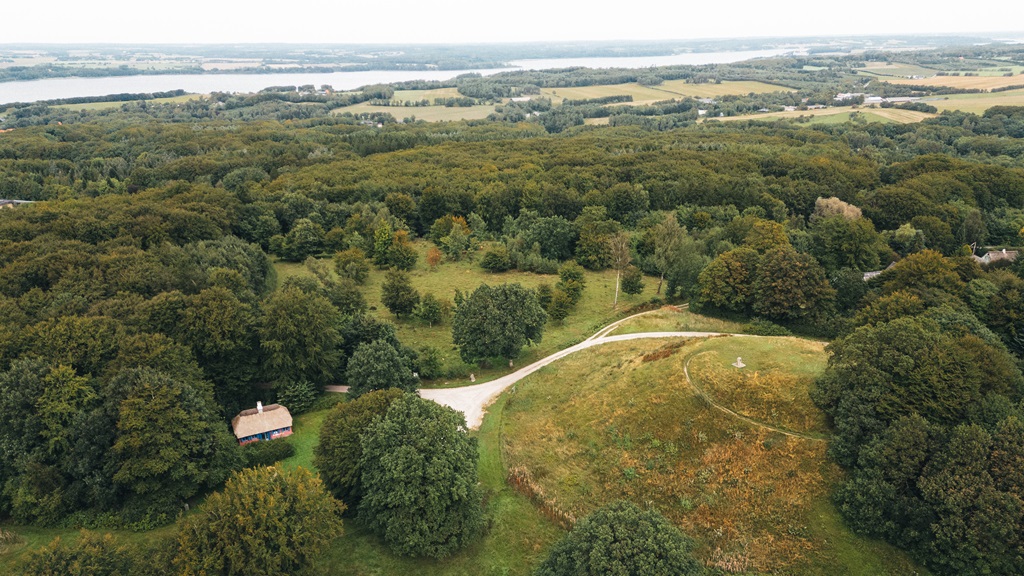
From Munkholm Anlægget, the journey continues up to Hohøj - Scandinavia's largest Bronze Age mound.
Alstrup Krat and Oksendalen
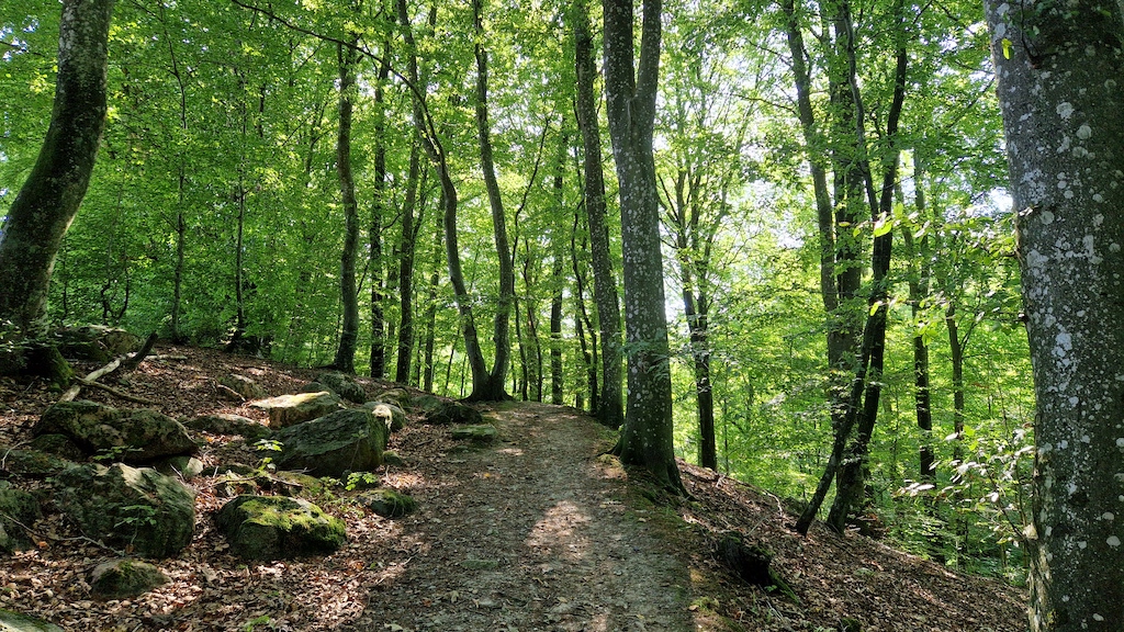
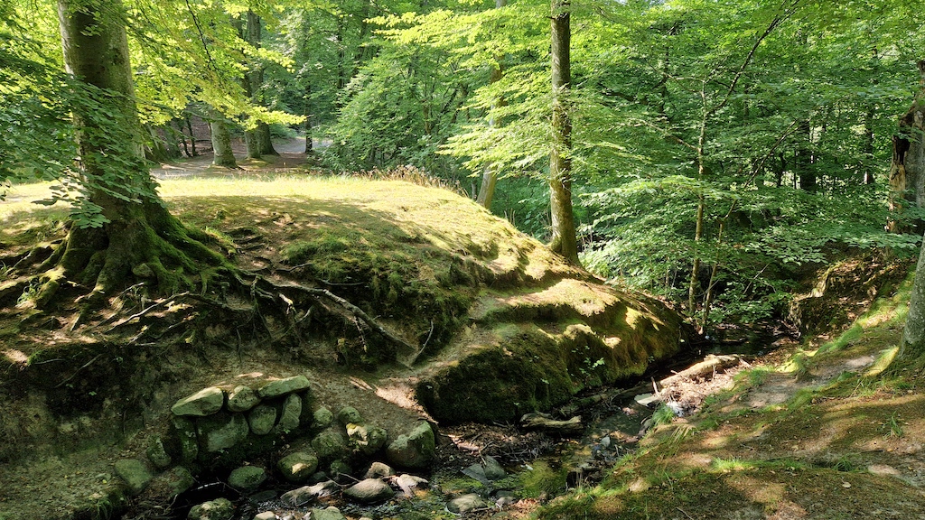
From Hohøj, you venture into the forest and reach Alstrup Krat. Here, you can experience a deafening silence as moss covers the forest floor and majestic coniferous trees tower towards the sky. Try standing still for a moment and listen as you enter the forest. It's completely silent. Then look up and see how the coniferous trees sway in the wind. It's a unique natural experience.
Alstrup Krat extends into an area known as Oksendalen, which was formed during the Ice Age as a result of erosion from meltwater.
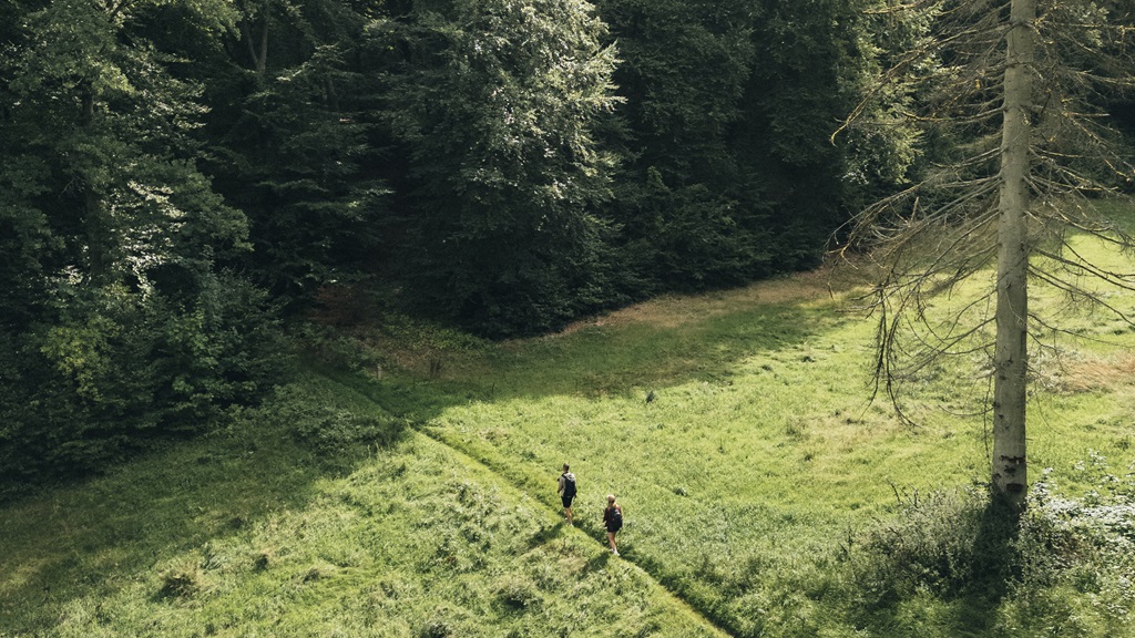
Oksendalen got its name because farmers who lived near Hohøj in both the Bronze Age and the Iron Age led their livestock through this valley to the meadows by the fjord. When you stand in the beautiful valley between the tall trees, try to imagine a bygone era when a young boy/girl herded the cows down the valley on a spring morning while the sun rose over the fjord.
After the journey through Oksendalen, you end up on Fjordgade, where you can catch a glimpse of Denmark's most beautiful fjord, Mariager Fjord, on the other side of the road. You might consider taking a detour to the newly constructed Mariager Beach and dip your toes in the beautiful fjord.
You are now nearing the end of the route, but before that, the trail takes you through Østergade, which is worth seeing due to its charming half-timbered houses adorned with beautiful doors and hollyhocks along the walls.
Alternative starting point
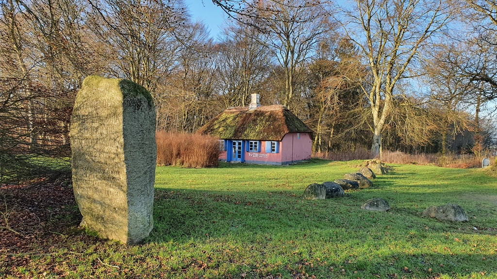
You can also choose to start at Hohøj and find information about the area you're venturing into at the small red house nearby, close to the Bronze Age mound. That way, you'll be well-equipped for a journey in the footsteps of history.
Test-gb
- Friends
Flere filtre
- Dogs allowed
- Free
Routebeschrijving
Ny Havnevej
9550 Mariager
Laatst bijgewerkt door::Destination Himmerlandinfo@destinationhimmerland.dk
